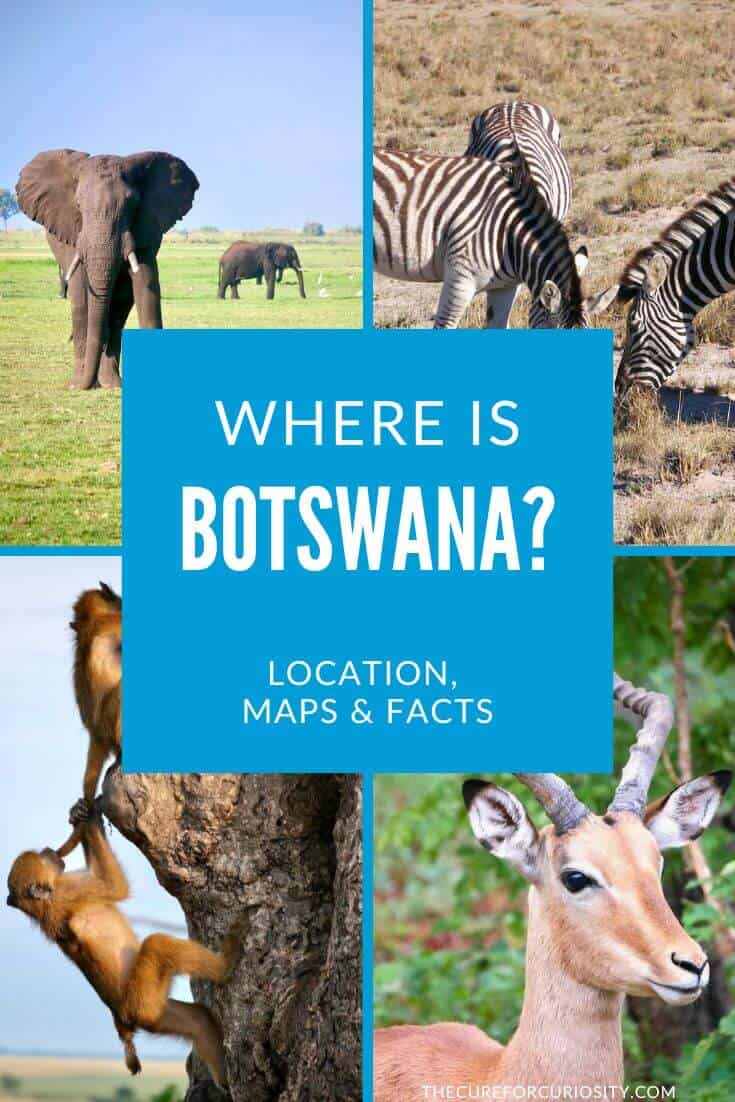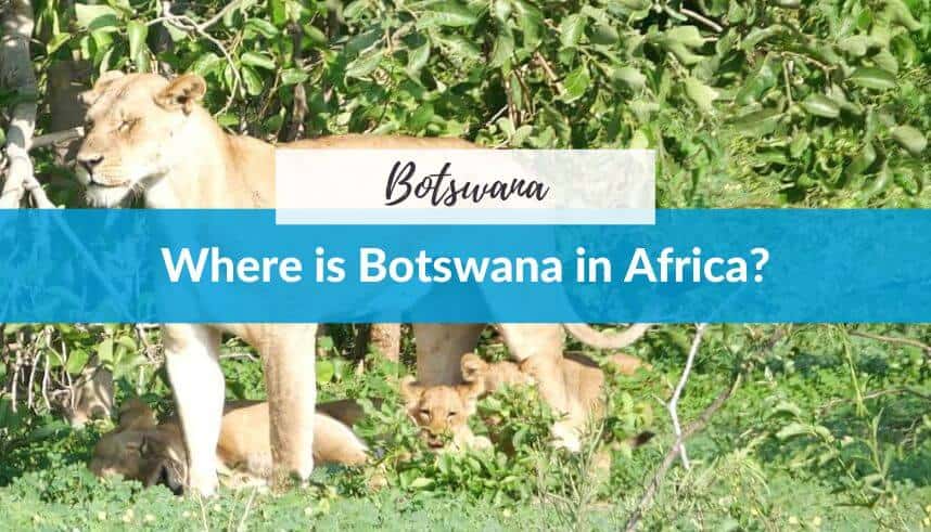
Where is Botswana? Location, Map, Facts, & More
If someone asked you to point to Botswana on a map, would you know where it is? Don’t worry if not… you’re definitely not alone. Before I booked my first safari trip through southern Africa, I had only a vague idea of where Botswana actually sits on the continent, and almost no sense of how it connects to the countries around it. Once I understood the geography, everything about planning the trip clicked into place.
This post is your complete orientation guide to Botswana’s location: where it is on the map of Africa, what countries surround it, what its capital is, what the landscape looks like, and why its position in southern Africa makes it one of the most remarkable safari destinations on the planet.
I visited Botswana as part of a two-week southern Africa trip that took me from Cape Town and Johannesburg through Botswana and on to Victoria Falls. You can read the full itinerary here. But first: where on earth is Botswana?
Disclosure: Some of the links below may be affiliate links. At no additional cost to you, I may earn a small commission if you make a purchase.
Where is Botswana?
Botswana is a landlocked country located in the center of Southern Africa. It sits entirely south of the equator, bordered by South Africa to the south and southeast, Namibia to the west and north, Zimbabwe to the northeast, and Zambia to the north. It has no coastline. You’re surrounded by land in every direction, deep in the heart of the African continent.
In terms of coordinates, Botswana sits at roughly 22° South latitude and 24° East longitude, placing it squarely in the southern hemisphere, about as far south of the equator as Florida is north of it.
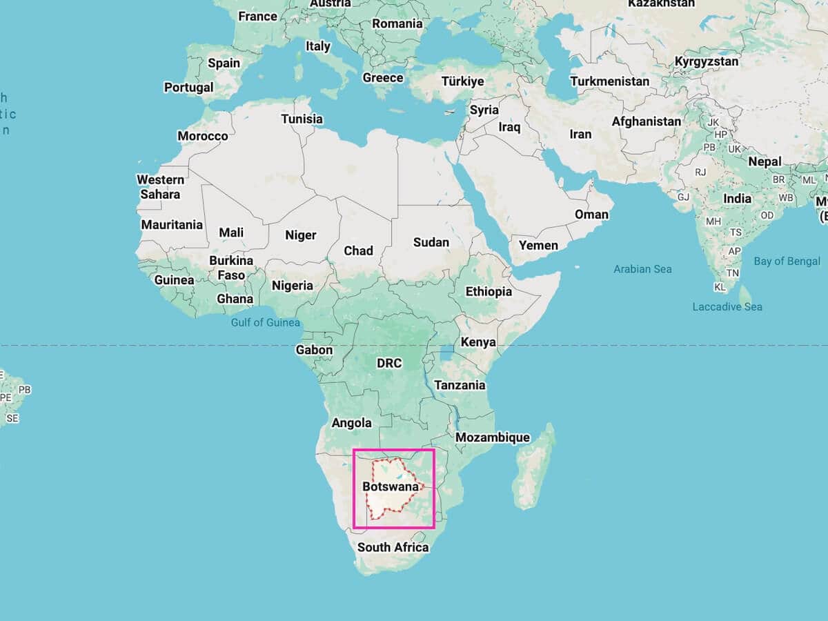
Size-wise, Botswana covers 224,607 square miles (about 581,730 square kilometers). That makes it roughly the same size as France, or slightly smaller than the state of Texas. Despite this substantial size, it’s home to only around 2.4 million people, making it one of the most sparsely populated countries in the world.
Here’s a useful mental image: picture Africa. Find South Africa at the very bottom. Now move your eye slightly north and to the left of Johannesburg, past the Limpopo River. That landlocked country in the middle of the southern cluster, sandwiched between South Africa, Namibia, Zimbabwe, and a tiny sliver of Zambia… that’s Botswana.
Botswana at a Glance: Key Facts
Before we dig into the geography, here’s a quick reference table for everything you need to know at a glance.
| Official Name | Republic of Botswana |
| Location | Landlocked, center of Southern Africa |
| Coordinates | 22° S, 24° E |
| Capital City | Gaborone |
| Total Area | 224,607 miles² (581,730 km²), similar in size to France |
| Population | Approximately 2.4 million (one of the world’s most sparsely populated countries) |
| Official Language | English (Setswana is the national language) |
| Currency | Botswana Pula (BWP) |
| Time Zone | Central Africa Time (CAT) — UTC+2 |
| Bordering Countries | South Africa, Namibia, Zimbabwe, Zambia |
| Independence | September 30, 1966 (from British protectorate of Bechuanaland) |
| Government | Parliamentary republic |
| Major Religion | Christianity (predominantly), with indigenous beliefs |
| Calling Code | +267 |
| Electricity | 230V / 50Hz, Type G (British) plugs |
The Capital of Botswana: Gaborone
The capital of Botswana is Gaborone (pronounced ha-buh-ROH-nee), located in the far southeastern corner of the country, just a few kilometers from the South African border.
Gaborone is a relatively young capital city. It was purpose-built as the new capital when Botswana gained independence from Britain in 1966. Before that, the country (then called Bechuanaland) was administered from Mafikeng, a city that sits just across the border in South Africa today. The decision to build a new capital inside the country’s own borders was a deliberate statement of independence.
Today, Gaborone is home to roughly 270,000 people, about 10% of the entire country’s population. It’s the political, economic, and administrative heart of Botswana, and also serves as the headquarters of the Southern African Development Community (SADC), the regional economic bloc that includes 16 southern African nations.
For most international travelers, Gaborone isn’t a primary destination. It’s more of a transit point or a business hub. The city has modern infrastructure, shopping centers, and good restaurants, but it lacks the dramatic wildlife and landscapes that draw most visitors to Botswana. That said, it’s worth at least a brief stop if you’re entering overland from South Africa. We stopped there for a brief visit to pick up snacks and hit the ATMs.

Other Major Cities in Botswana
Beyond Gaborone, a few other cities are worth knowing about:
- Francistown: Botswana’s second-largest city (population ~100,000), located in the northeast near the Zimbabwe border. It’s an important commercial hub and a useful road junction for travelers heading north.
- Maun: Officially still classified as a village but home to around 55,000 people, Maun is the tourism capital of Botswana. It sits at the southeastern edge of the Okavango Delta and is the main gateway for safari travelers heading into the Delta and beyond. If you’re doing a northern Botswana safari circuit, you’ll almost certainly fly into or through Maun. (We went through here too.)
- Kasane: A small town near the northeastern tip of Botswana, Kasane is the base for exploring Chobe National Park and sits close to the famous four-country corner where Botswana, Namibia, Zimbabwe, and Zambia nearly meet. (Another place we went through.)
- Serowe: A town in central Botswana and the traditional home of the Bangwato people. It’s the nearest town to the Khama Rhino Sanctuary, and a natural halfway stop on the overland route from Johannesburg to Maun. (We also stopped here on our way to the Rhino Sanctuary.)
- Ghanzi: A small town in the western Kalahari, Ghanzi is a gateway for travelers crossing from Namibia and has connections to San (Bushmen) communities and culture.
Countries around Botswana: A Closer Look
Botswana shares borders with four countries. Understanding each one helps you see why Botswana fits so naturally into a multi-country southern Africa itinerary, which is exactly what I did on my trip. Here’s a breakdown of each neighbor and what that border means for travelers:
| Country | Direction from Botswana | Border Length | Key Safari Overlap |
| South Africa | South & Southeast | 1,223 miles / 1,969 km (longest border) | Kruger NP, Kgalagadi Park |
| Namibia | West & North | 959 miles / 1,544 km | Caprivi Strip, Etosha NP |
| Zimbabwe | Northeast | 518 miles / 834 km | Victoria Falls, Hwange NP |
| Zambia | North | 0.09 miles / ~150 m (world’s shortest) | Victoria Falls, South Luangwa |
South Africa: Botswana’s Longest Border
The border between Botswana and South Africa stretches 1,223 miles (1,969 km), Botswana’s longest international boundary. It follows the courses of several rivers including the Limpopo, Marico, and Molopo Rivers. There are 15 official border crossing points between the two countries, making movement between them relatively straightforward.
For most international travelers visiting Botswana, South Africa is the entry point. Johannesburg’s OR Tambo International Airport is the main regional hub, and many visitors either fly from Jo’burg into Maun, or cross the border overland by road or bus. The border crossing at Tlokweng Gate (near Gaborone) is one of the busiest.
The Kgalagadi Transfrontier Park, a massive cross-border conservation area of over 14,672 miles² (about 38,000 km²), straddles the Botswana–South Africa boundary in the southwest. It’s one of Africa’s great wilderness parks, though it requires its own dedicated trip.
Namibia: The Western and Northern Neighbor
Namibia sits to Botswana’s west and northwest, sharing a 959 mile (1,544 km) border that runs largely through the Kalahari Desert, one of the more remote and difficult-to-cross frontiers in southern Africa. In the far north, Namibia’s Caprivi Strip (also called the Zambezi Region) narrows to a thin finger of land that pokes between Botswana and Zambia, creating some interesting geopolitical geometry that we’ll get to shortly.
For overland travelers, Botswana and Namibia connect well at several points. Travelers doing a Namibia–Botswana circuit often cross between the two at Ngoma Bridge (near Chobe) or Mamuno (in the Kalahari). It’s handy for those combining Botswana’s Okavango Delta with Namibia’s Etosha National Park or the Namib Desert.
Zimbabwe: The Northeastern Neighbor
Zimbabwe borders Botswana to the northeast along an 518 mile (834 km) boundary. The most important crossing point for tourists is Kazungula, connecting Kasane in Botswana to the road toward Victoria Falls in Zimbabwe. This is a busy border… which means standing in line a while to cross it. But, a short 1–2 hour drive from Kasane brings you to one of the world’s great natural wonders.
There’s also the Plumtree border crossing further south, connecting Francistown in Botswana to Bulawayo in Zimbabwe. This one is useful for travelers heading into Zimbabwe’s Hwange National Park.
For my own trip, we drove from Kasane in northern Botswana directly to Victoria Falls in Zimbabwe. It was a simple, well-traveled route that made combining Chobe and Victoria Falls into a single itinerary very easy. You can read about that part of the trip in my G Adventures Botswana & Falls Adventure review.
Zambia: The World’s Shortest Border
Here’s a geography fact that genuinely surprised me: Botswana and Zambia share the shortest international land border in the world. It’s just about 0.09 miles (150 meters) at the confluence of the Chobe River and the Zambezi River near Kazungula. It’s so short it barely registers on most maps.
This near-meeting of four countries, Botswana, Zambia, Zimbabwe, and Namibia, is often referred to as a quadripoint, and it’s one of the most geographically fascinating spots in Africa. Technically the four countries don’t all share a single point (it’s more like two very close tri-points), but the Kazungula Bridge, which was completed in 2021, now physically spans this short border, connecting Botswana to Zambia by road and rail for the first time.
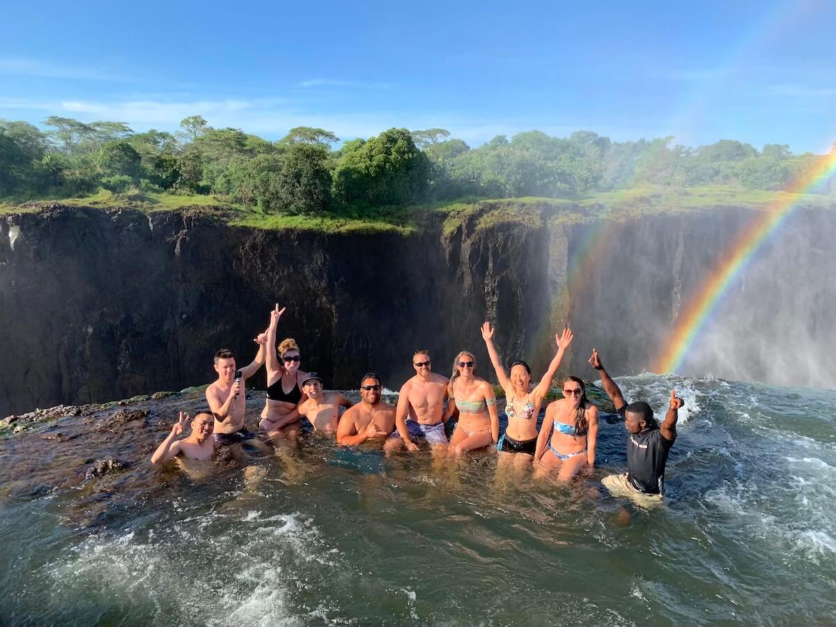
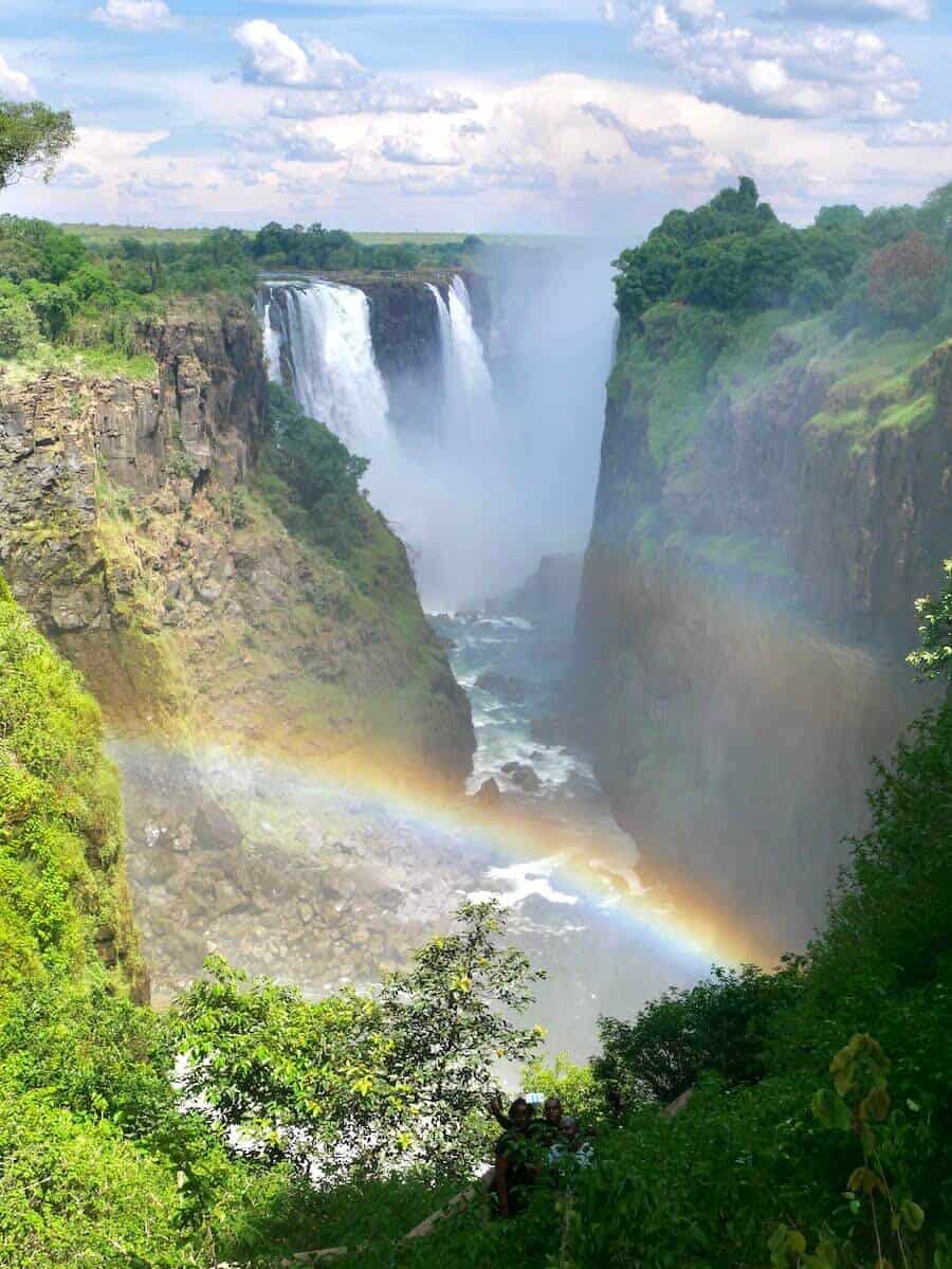
For travelers, this means you can stand on the Kazungula Bridge and effectively be at the corner of four countries simultaneously. It’s one of those only-in-Africa moments that’s worth going slightly out of your way for. From Kasane on the Botswana side, Livingstone (Zambia’s tourist hub near Victoria Falls) is easily accessible. I crossed into Zambia to swim in Devil’s Pool on the edge of the falls.
Botswana on a Map: How to Picture It
If you’re a visual thinker, here are a few ways to orient yourself to Botswana’s position on the map:
- Relative to Africa: Botswana is in the southern third of the continent, roughly centered between the east and west coasts. It’s about 930 miles (1,500 km) north of Cape Town, 1180 miles (1,900 km) south of the equator, and about 1,240 miles (2,000 km) west of the Indian Ocean coast.
- Relative to South Africa: Botswana sits directly north of South Africa, sharing the Limpopo River as part of its southern border. Johannesburg is the most common jumping-off point for international travelers as it sits just south of the border.
- Relative to Victoria Falls: Victoria Falls sits at Botswana’s northeastern corner, right where Botswana, Zimbabwe, and Zambia nearly meet. Kasane (Botswana’s safari hub for Chobe) is only about 70 km from the falls.
- Shape: Botswana is roughly triangular, about 370 miles (600 km) from north to south and 370 miles (600 km) from east to west, with a pointed protrusion in the northeast. The entire country sits at a relatively high elevation, averaging around 3,280 feet (1,000 meters) above sea level, which gives it a cooler climate than you might expect for a semi-arid African country.
The vast majority of the country is flat to gently rolling plateau. There are no dramatic mountain ranges. In fact, the highest point (Male Hill) reaches only 4,885 feet (1,489 meters). What Botswana lacks in vertical drama it more than compensates for in horizontal scale as the landscape goes on and on, broken up by riverbeds, salt pans, and the occasional rocks.
The Main Features of Botswana
Botswana’s geography is defined by two dominant features: the Kalahari Desert in the center and southwest, and the Okavango River system in the northwest. These two forces create wildly different environments within the same country.
The Kalahari Desert
About 70% of Botswana’s land surface is covered by the Kalahari. This vast semi-arid basin of red and orange sand stretches across Botswana, parts of Namibia, and a corner of South Africa. The Kalahari is not a “true” desert in the way the Sahara is as it receives more rainfall and supports a surprising amount of vegetation, wildlife, and human life. But it is dry, sandy, and vast, and it shapes the feel of enormous swaths of Botswana.
The Kalahari is home to the San people (also called the Bushmen), one of the oldest indigenous cultures on Earth, whose ancestors have lived in this landscape for tens of thousands of years. It also contains the Central Kalahari Game Reserve, one of the largest wildlife reserves in the world at over 20,080 miles² (52,000 km²), a remote and barely-visited wilderness that offers some of the most isolated safari experiences on the continent.
The Okavango Delta
In sharp contrast to the Kalahari, the Okavango Delta in northwestern Botswana is one of the most biodiverse places in Africa. Each year, floodwaters from the Angolan highlands flow down the Okavango River and fan out into the Kalahari sand, creating a large inland delta of channels, islands, and lagoons that cover up to 5,790 miles² (15,000 km²) at its peak flood.
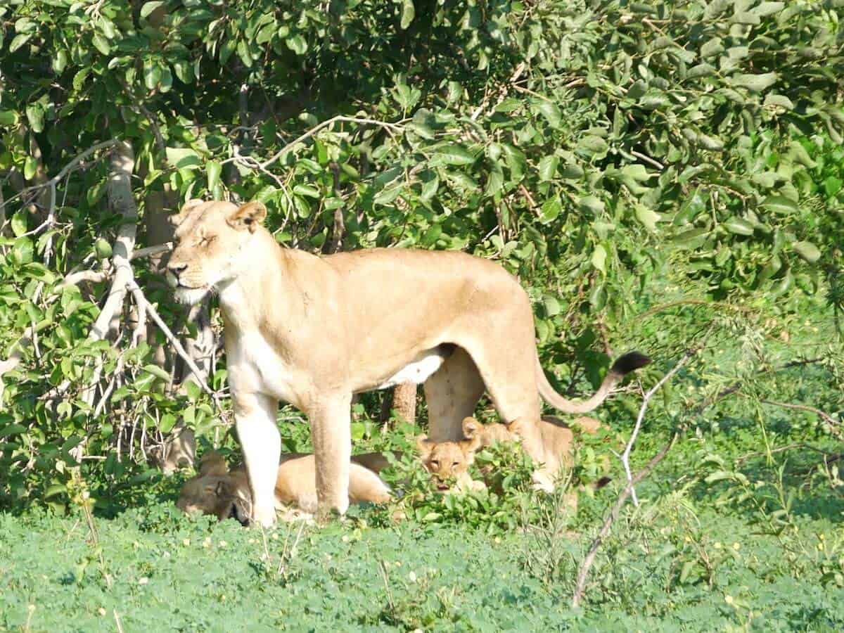
The Delta is a UNESCO World Heritage Site and the largest inland delta in the world. It supports extraordinary concentrations of wildlife, like elephants, hippos, crocodiles, lions, leopards, wild dogs, and hundreds of bird species, in a landscape that’s part water, part land, and completely unlike anywhere else in Africa.
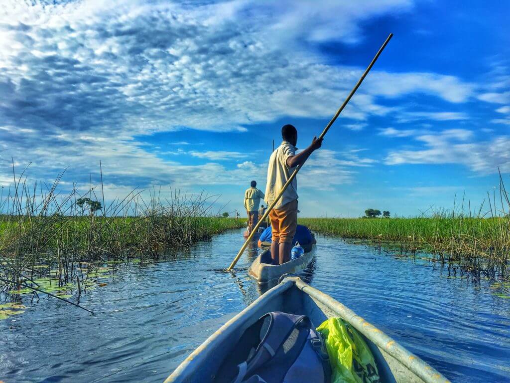
I spent two days exploring the Okavango Delta by traditional mokoro (dugout canoe) and on a bush walk, and it was genuinely one of the most unique experiences of my life. You can read all about it in my Okavango Delta guide (coming soon).
The Makgadikgadi Salt Pans
Between Maun and Kasane lies one of Africa’s most surreal landscapes: the Makgadikgadi Pans, the remnants of a vast ancient lake that dried up thousands of years ago. Today, the pans are enormous flat expanses of dried salt crust.
In the dry season, the pans feel like walking on another planet. During the rainy season, a shallow layer of water transforms them into one of southern Africa’s greatest flamingo breeding grounds. Meerkats, bat-eared foxes, and huge ancient baobab trees are highlights of the surrounding area. I passed through this region on my overland trip, and it’s an area I’d love to return to with more time.
Chobe River and the Northern Floodplains
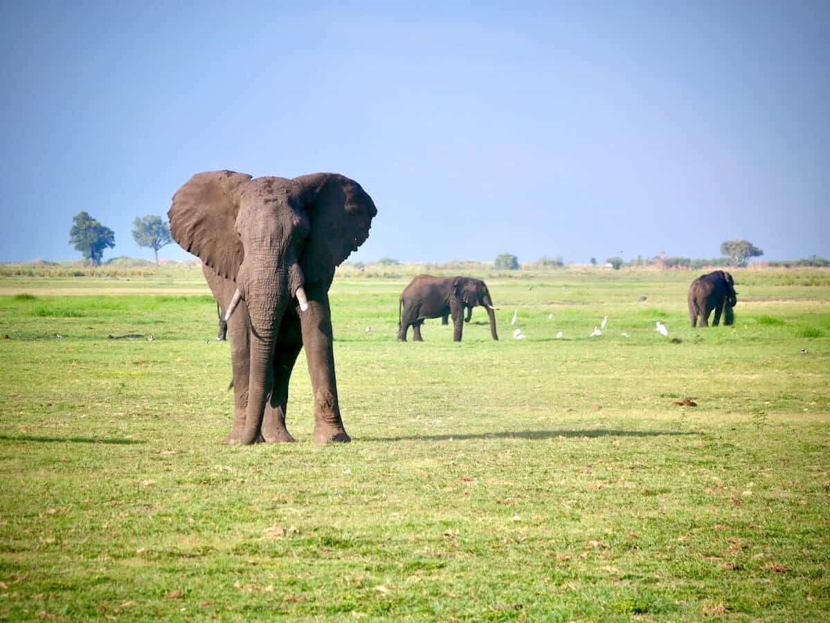
In the far northeast, the Chobe River forms part of Botswana’s border with Namibia before flowing into the Zambezi. The floodplains along the Chobe are home to the largest concentration of elephants on Earth… an estimated 130,000+ animals. The Chobe National Park sits along this stretch of river, and the wildlife boat cruises here (which I did, and highly recommend) give you a front-row seat to hippos, elephants, and crocodiles at the water’s edge.
Botswana’s Climate: When to Go and What to Expect
Botswana has a semi-arid subtropical climate that is warm to hot most of the year, with a distinct wet season and a dry season. Its high elevation (averaging ~3,280 feet / 1,000 m above sea level) keeps temperatures more moderate than you might expect.
Dry Season: May – October (Best for Safari)
This is peak safari season in Botswana, and the best time to visit for wildlife viewing. Rainfall is minimal, vegetation thins out (making animals easier to spot), and wildlife congregates around permanent water sources. Temperatures are warm during the day but can drop sharply at night in June and July. Bring a fleece for early morning game drives.
July and August are the absolute peak months. Expect the largest wildlife concentrations but also the highest prices and most visitors. May, June, and September are excellent alternatives with slightly fewer crowds.
Green Season: November – April (Budget-Friendly, Great for Birding)
The wet season brings afternoon thunderstorms and bright green landscapes. Wildlife can be harder to spot in the thick vegetation, but this is Botswana’s budget season. Lodges and camps slash their rates significantly, and the Delta is at its most photogenic. Bird watching is exceptional during this period, with thousands of migratory species present. Flamingos appear on the Makgadikgadi Pans. Wildebeest calve on the pans in their own (much smaller-scale) spectacle.
My trip was in December, right at the start of the rainy season. We had hot days, brief afternoon storms, and still excellent wildlife sightings at both the Okavango Delta and Chobe.
Why Botswana’s Location Matters for Safari
Botswana’s geography isn’t just interesting trivia… it directly shapes the safari experience in ways that set it apart from other African destinations.
Landlocked and Isolated
Botswana’s lack of a coastline and its position deep in the center of southern Africa means it developed differently from coastal countries. Combined with a government policy of low-volume, high-value tourism (fewer visitors, higher prices, but exceptional conservation outcomes), Botswana has some of the most undisturbed wildlife environments on the continent.
Central Position Makes Multi-country Itineraries Easy
Botswana sits at the junction of four countries, all of which have major safari appeal. South Africa (Kruger), Zimbabwe (Victoria Falls, Hwange), Zambia (Victoria Falls, South Luangwa), and Namibia (Etosha, Namib) are all accessible within a 1–2 day journey from Botswana. This is exactly why southern Africa itineraries tend to combine 3–4 countries.
Two Wildly Different Ecosystems
Where else can you canoe through an inland delta in the morning and camp under stars on the edge of a desert that evening? The Okavango Delta and the Kalahari represent two dramatically different African landscapes, both accessible within Botswana.
World’s Largest Elephant Population
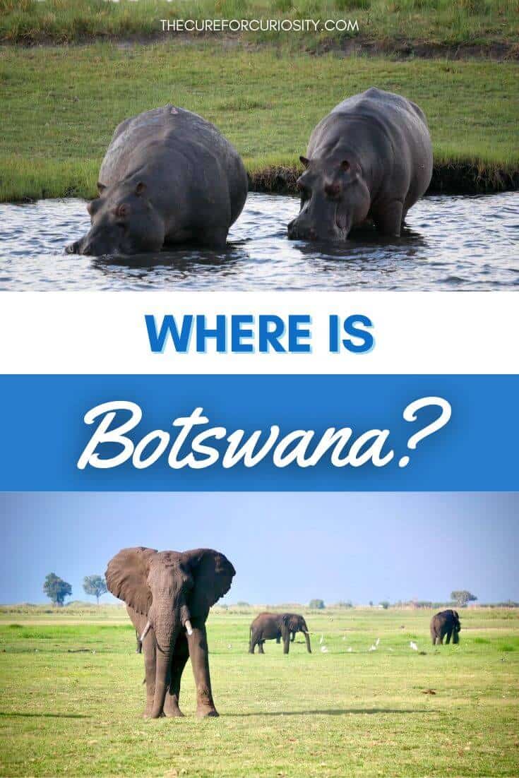
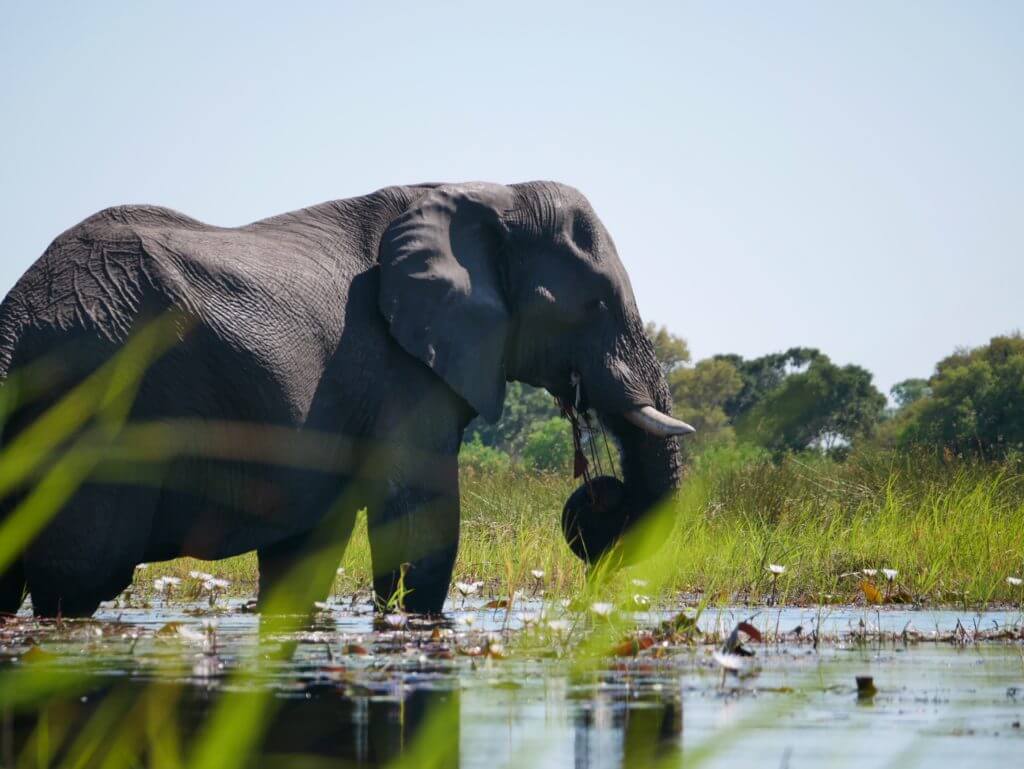
Botswana is home to an estimated 130,000 African elephants, the largest population on earth. The country’s conservation record (including a ban on trophy hunting from 1990–2019) has been a major factor in this. Wherever you go in northern Botswana, elephants are rarely far away. In fact, you can drive on the “Elephant Highway”… one of many roads we took on our African roadtrip.
About Elephant Highway
The Elephant Highway in Botswana is a stretch of road running through the country’s northwest, most famously between Nata and Kasane, where elephants regularly cross between protected areas. It cuts through a key migration corridor linking Chobe National Park, Makgadikgadi Pans National Park, and surrounding wilderness, making it one of the most wildlife-rich drives in Africa. Road signs warning of elephants aren’t just for show. Seeing herds up close is common, especially in the early morning and late afternoon.
Driving the Elephant Highway is less about getting from point A to B and more about slowing down and staying alert. Elephants have the right of way, and encounters can happen around any bend. It’s a rare chance to witness one of the largest remaining elephant populations on Earth moving freely across the road.
Getting to Botswana
There are multiple main entry points to Botswana.
- By air via Maun: The most common entry point for safari travelers. Maun has direct flights from Johannesburg (Air Botswana, Airlink) and serves as the main gateway to the Okavango Delta and the northern safari circuit. Flight time from Johannesburg is around 1.5 hours.
- By air via Gaborone (Sir Seretse Khama International Airport): The main international airport, with connections to Johannesburg, Nairobi, Addis Ababa, and a few regional cities. More useful for business travelers than safari visitors, as Gaborone is in the far south.
- By air via Kasane: A small airport near Chobe National Park with connections to Maun and Johannesburg. Ideal if you’re starting your Botswana trip from the Chobe/Victoria Falls end of the route.
- Overland from South Africa: Multiple border crossings on the South Africa–Botswana boundary. The Tlokweng Gate near Gaborone and Martin’s Drift/Groblersbrug near Ellisras are the main overland entry points for travelers heading north by road.
- Overland from Zimbabwe/Victoria Falls: The Kazungula border crossing (Kasane) is the main point of entry from Zimbabwe, and it’s a short, straightforward crossing. I came through here on my way from Victoria Falls to Chobe and it was simple.
Visas
Citizens of the US, UK, EU countries, Australia, New Zealand, Canada, and most Commonwealth nations receive visa-free entry to Botswana for up to 90 days. No advance visa application is needed. Just show up at the border with a valid passport. Always verify current requirements before travel, as policies can change.
Check Visa Requirements with iVisa.
Currency and Money
Botswana’s official currency is the Botswana Pula (BWP). One US dollar buys roughly 13–15 Pula (check current rates before travel). ATMs are available in most cities: Gaborone, Maun, Kasane, and Francistown, but cash is essential in remote areas. One important note: if you’re crossing into Zimbabwe, bring US dollars. USD is widely used in Zimbabwe and ATM availability there is unreliable.
Ready to Visit? Start Planning Your Botswana Safari
Now that you know where Botswana is and how it fits into the broader southern Africa region, here are the next steps for planning your trip:
- Search flights into Maun or Gaborone via Expedia: Johannesburg is the main regional hub; from there, connections to Maun are quick and frequent.
- Browse Botswana multi-day safari tours on Viator: A great starting point for understanding what’s possible within Botswana and across the region.
- Find Botswana safari day tours on GetYourGuide: Useful for individual excursions like Chobe boat cruises or Okavango Delta mokoro trips.
- Search accommodation in Maun on Booking.com: Your most likely overnight base before heading into the Delta.
- Search accommodation in Kasane on Booking.com: The base for exploring Chobe National Park.
Explore More of Botswana
Botswana’s location landlocked in the center of southern Africa, sharing borders with four countries, sitting between the Kalahari and the Okavango is not incidental to what makes it special. It’s everything.
The country’s position made it a crossroads of migration routes for both animals and people. It’s why elephants move between Botswana, Zimbabwe, Zambia, and Namibia in massive transfrontier herds. It’s why the Okavango Delta exists at all, fed by rains in Angola, flowing down through Namibia’s Caprivi Strip, spreading out into the Kalahari sand. And it’s why Botswana fits so perfectly into a multi-country southern Africa itinerary. It’s surrounded by equally extraordinary destinations, all within a short journey of each other.
Once you’ve got your bearings on where Botswana is, dive into the specific destinations and experiences:
- The Okavango Delta: What to Expect (+ Is It Worth It?)
- Where is Botswana? Location, Map, Facts, & More
- Khama Rhino Sanctuary: Botswana’s Most Underrated Safari Stop
- 2 Weeks in Southern Africa: A Budget African Safari Itinerary
- Review of G Adventures Botswana and Falls Adventure Trip
Like this post? Pin it.